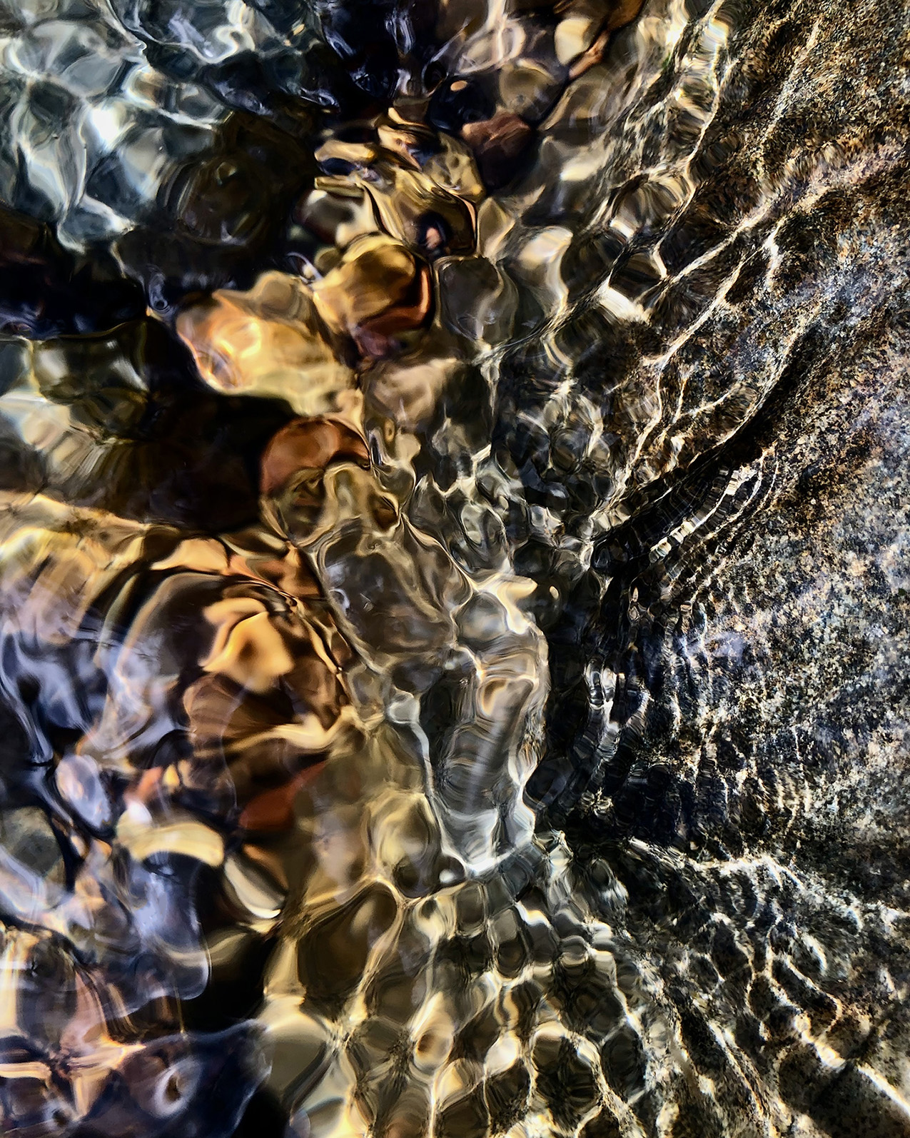
The seasonal streams I photograph during the California rainy season are an element in the continuing health of the American River, which is the main source of drinking water for Sacramento. Eight hydroelectric plants on the South Fork also provide around 20% of Sacramento’s electricity. The South Fork is also where the California gold rush began and is an area rich in Native American history. My work is inspired by the history of the cultural and ecological tragedies of the gold rush and westward expansion, along with the continuing pressures population growth and industrial and agricultural demands place on sustainability.
This image is from a seasonal stream in Snipes-Pershing Ravine, located between Black Miners Bar and Mississippi Bar, that drains into Lake Natoma (a man-made lake formed on the American River between the Folsom and Nimbus dams), where the three merged forks of the American River continue on to its confluence with the Sacramento River. It is a part of the San Francisco Bay watershed.
“The lower American River has been one of seven California rivers to achieve the designation ‘Recreational River’ under both the California Wild and Scenic Rivers Act (1972) and the National Wild and Scenic Rivers Act (1980). This status provides state and national recognition to protect the river’s outstanding scenic, fish and wildlife, historic, cultural, and recreational values.”[1]
[1] https://en.wikipedia.org/wiki/American_River